
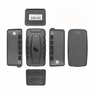
 4G GPS tracker G25C-4G
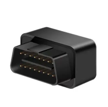 4G OBD GPS Tracker D08-4G
OBD GPS Tracker
Pinpoint vehicle position and receive position data directly from the tracker or through a tracking platform.
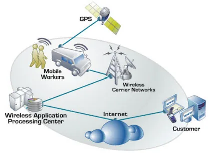
GPS Vehicle Trackers allow customers to pinpoint the exact location of their vehicle. With the use of these devices, customers can receive position data from the tracker directly to their mobile phone or computer.
Vehicle Trackers provide customers with advanced features such as voice monitoring, two way audio, geo-fencing, impact alarm, speeding alarm, data packet storage, camera, and engine cut. Some vehicle trackers are waterproof and have digital and analog inputs and outputs, which allow for different types of reports and applications.
With the use of GPS Vehicle Trackers, an individual never has to worry about the safety and security of their vehicle
Related Products
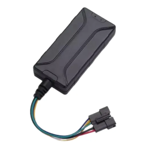
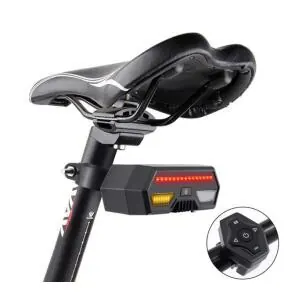
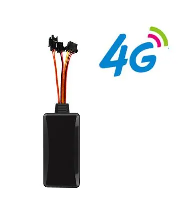
Tell us the market, the platform and the volume. We will recommend the device and the firmware setup that fits.
FAQ
Answers published by GOTOP for its tracking devices.
Wireless Networks - GSM/GPRS For Real-time GPS tracking, the wireless network is used to communicate the GPS data from the vehicle/asset, so location, speed and stop times can be viewed in Real-time. Think in terms of how mobile phones work. There are two types used; (1) Digital Cellular and (2) Satellite. Obviously, digital cellular is more popular due to cost. This is the same with communicating real-time GPS data for vehicle tracking. Wireless Networks: Cellular vs. Satellite Due to the facts that (1) hardware is less expensive (2) monthly service fees are less expensive (3) superior network reliability; a digital cellular-based system is the best way to go for the vast majority of companies that want to use a real-time system for nearly any type of tracking. Digital Wireless Networks If you are looking to purchase a 1st tier GPS tracking system, then you should be looking for a system that operates on a 1st tier digital wireless network. All of the 1st tier wireless communications companies is the market have moved to digital wireless networks. There are two types of types of digital wireless protocols that the major communication companies have utilized for the build-out of their wireless networks: GSM/GPRS CDMA (1xrt) There is an on-going debate as to which of these protocols is superior for cell phones, but for live data feeds for devices used for GPS tracking, mobile email, and wireless forms, the "always on" technology of GPRS is clearly superior. GPS devices that use this network are "pay as you go" type devices. One should only consider using GPS devices on these networks for applications where only a few location records per day are required. GPS devices that use these networks should never be considered for fleet management applications due to the fact that reporting vehicle activity for a sound fleet management system requires between 1000-3000 records generated per month. The cost of this many records on these networks would be far above the flat fee you would pay with a superior, digital GSM/GPRS.
It would need to install a GPS tracking device on the vehicle/Motorcycle / person / Pet and through a username and password from the GPS tracking software, then you can view your device real time tracking as well as all history record and events that generated it.
In order for GPS tracking to work, it is necessary to have both access to the Global Positioning System and have a GPS receiver. The GPS receiver is able to receive signals that are transmitted by GPS satellites orbiting over head. Once these satellite transmissions are received by the GPS receiver, location and other information such as speed and direction can be calculated. A GPS receiver needs to receive transmissions from at least three or more GPS satellites to calculate its position effectively. GPS receivers usually measure the time delays between the transmission and reception of each of the satellites GPS radio signal. This technique of calculating distance using three separate transmissions is called trilateration.